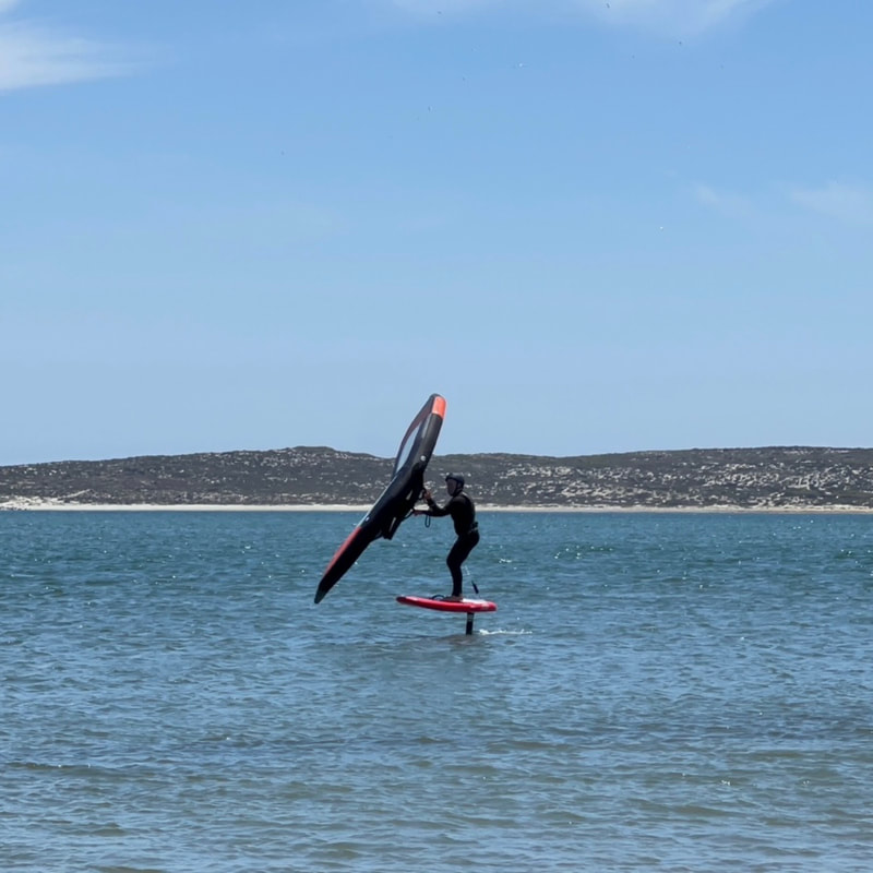
San Quintin Sandy Point
|
Map yourself to Cielito Lindo, Baja California you will be close. From there you head west parallel to the ocean. This road goes through marshy wetlands that is not passable during tides 7’ or higher, or after heavy rain. Follow the most traveled path. Once you get near the location you will need to cross some sand. The sand is a little soft here so head for the water, it's usually firmer. This entire area is ok for sailing but the closer you get to the end of the point the less problems you will have with the surf. If you arrive at a fish camp you went too far. Four wheel drive is best but the locals make it work with anything that runs. During high tides make your way to the beach near the Hoteles Mision which is to the south and drive up the beach. Access to the beach there is sometimes blocked but there are ways to do this south of the hotel. You would want 4 wheel drive for this route. Low tides make this route easier and really enjoyable.
|
"Flat water, reliable steady breezes and pristine conditions. Why am I the only one here? "
(Rob Walker, summer of 2023) |
|
Accomodations
There are plenty of places to stay in the area. Here are a few suggestions: Cielito Lindo: closest to the launch, low price Jardines Hotel: Nice hotel, clean and great food Hoteles Mision: Right on the beach, priciest choice Pabellon RV Campground in Nueva Odisea: Walk to the beach El Socorro: Camp on the beach or stay in short term casita rentals |


